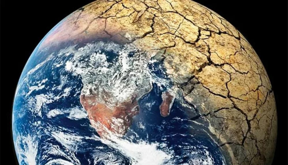
Artificial satellites play a crucial role in climate change research by providing comprehensive and accurate data that helps scientists understand the Earth’s climate system. They offer unique advantages for monitoring and analyzing climate-related parameters on a global scale, over long periods, and in areas that are otherwise difficult to access. Here’s a detailed look at the role of artificial satellites in climate change research:
Key contributions of satellites to climate change research
1. Global monitoring
- Satellites can observe the entire planet, providing data on a global scale that is essential for understanding climate systems and changes.
- They offer consistent data over long periods, which is crucial for tracking trends and detecting changes over decades.
2. Atmospheric observations
- Satellites measure key atmospheric parameters, such as temperature, humidity, and the concentration of greenhouse gases like carbon dioxide (CO2) and methane (CH4).
- Instruments like spectrometers and radiometers are used to analyze the composition and properties of the atmosphere.
3. Ocean monitoring
- Satellites help monitor sea surface temperatures, ocean currents, sea level rise, and ocean color (indicating phytoplankton concentrations).
- They provide data on ice cover and thickness in polar regions, helping to assess the impacts of climate change on ice melt.
4. Land surface monitoring
- Satellites track changes in land use, deforestation, desertification, and vegetation cover.
- They provide data on soil moisture and land surface temperature, which are important for understanding agricultural impacts and drought conditions.
5. Cryosphere monitoring
- Satellites are essential for observing the cryosphere, which includes glaciers, ice caps, and sea ice.
- They help measure changes in ice extent and thickness, contributing to understanding the impacts of global warming on polar regions.
6. Weather and climate models
- Satellite data is used to validate and improve climate models, enhancing predictions of future climate conditions.
- They provide initial conditions and boundary conditions for weather and climate simulations.
7. Carbon cycle monitoring
- Satellites like NASA’s OCO-2 (Orbiting Carbon Observatory-2) measure CO2 concentrations and help track carbon sources and sinks.
- Understanding the carbon cycle is crucial for developing strategies to mitigate climate change.
8. Disaster monitoring and management
- Satellites aid in monitoring natural disasters, such as hurricanes, floods, and wildfires, which are becoming more frequent and intense due to climate change.
- They provide timely data that is critical for disaster preparedness and response.
Examples of key satellite missions
1. Landsat program
- Provides data on land use, deforestation, urbanization, and agricultural practices.
- Offers over 50 years of Earth observation data.
2. Sentinel satellites (copernicus program)
- Monitors various aspects of the Earth, including land, oceans, and the atmosphere.
- Provides data for climate change monitoring, environmental management, and disaster response.
3. Terra and Aqua (NASA’s Earth observing system)
- These satellites carry instruments that provide data on atmospheric conditions, ocean color, and land surface changes.
4. GRACE and GRACE-FO (gravity recovery and climate experiment)
- Measures changes in Earth’s gravity field, providing data on ice mass loss, groundwater depletion, and sea-level rise.
5. ICESat-2 (ice, cloud, and land elevation satellite-2)
- Measures ice sheet elevation and changes, contributing to understanding sea-level rise.
Challenges and future directions
- Data interpretation: interpreting satellite data requires sophisticated algorithms and models to convert raw data into usable climate information.
- Temporal and spatial resolution: while satellites offer broad coverage, there can be trade-offs between spatial and temporal resolution that need to be balanced.
- Continued innovation: new satellite missions and technological advancements are needed to improve the accuracy, resolution, and types of data collected.
Artificial satellites are indispensable tools in climate change research, offering comprehensive data that is essential for understanding and addressing the challenges posed by a changing climate. Their ability to provide consistent, global, and long-term data makes them invaluable for scientists, policymakers, and environmental managers working to mitigate and adapt to climate change. As technology advances, the capabilities and contributions of satellites to climate research are expected to grow, providing even deeper insights into our planet’s complex climate systems.


